The Inner Loop Experiment: Rochester's Radical Act of Urban Subtraction
In 2017, Rochester became the first American city to voluntarily remove a functioning highway loop. The experiment in urban subtraction offers lessons for cities nationwide.

Key Insights
Essential takeaways from this chronicle
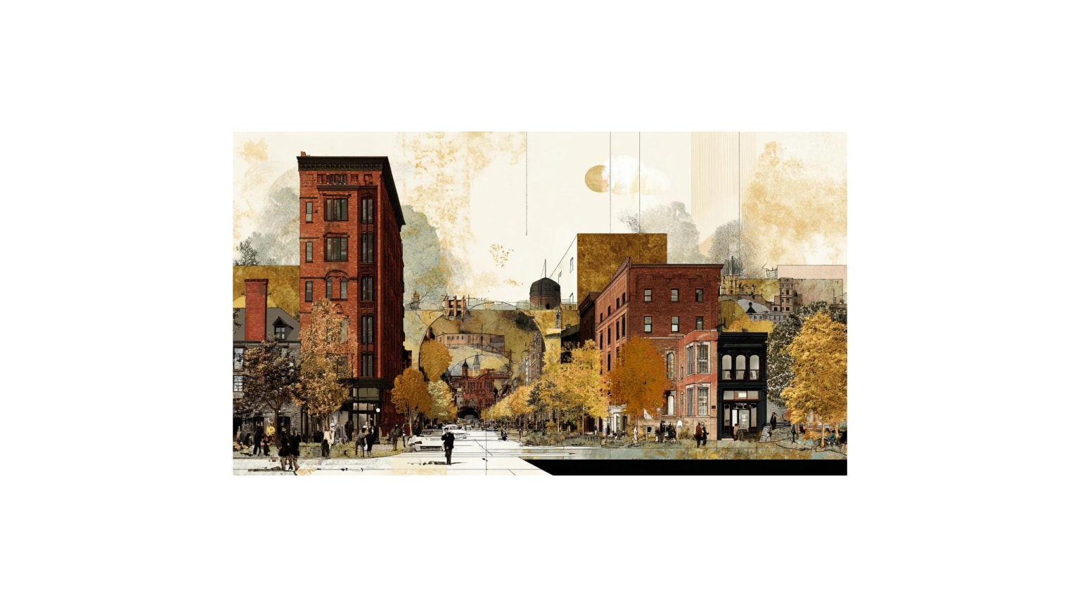
Rochester removed 1.2 miles of the Inner Loop highway, creating 17 acres of developable land in downtown
Point 1 of 4The project cost $22.8 million, significantly less than the $180 million needed to rebuild the aging highway
Point 2 of 4New development on reclaimed land is projected to generate $1.2 billion in economic activity over 20 years
Point 3 of 4Air quality monitoring showed 15% reduction in particulate matter along the former highway corridor
Point 4 of 4
The Inner Loop Experiment: Rochester's Radical Act of Urban Subtraction
"I never thought I'd live to see this day," she said, as the first chunks of the Inner Loop's eastern section fell. "My kids used to ask why there was a highway in the middle of the city. I never had a good answer."
Rochester's decision to remove a functioning highway loop made international headlines. Urban planners called it unprecedented. Traffic engineers warned of gridlock. But for residents like Williams, the experiment in urban subtraction represented something simpler: the chance to heal a wound that had never properly healed.
A Loop Built on Good Intentions
The Rochester Inner Loop was never supposed to be permanent. Conceived in the 1950s as part of an ambitious urban renewal program, the sunken highway was designed to carry Interstate 490 around downtown Rochester while the city's Victorian core was rebuilt from scratch.
"The original plan was to demolish most of downtown and start over," explains Robert Johnson, former city planning director who worked on Inner Loop removal. "The highway was meant to be temporary—a way to maintain traffic flow while the old city was replaced with a modern one."
But the broader urban renewal vision collapsed in the 1970s. Federal funding dried up. Political priorities shifted. The Inner Loop, built for a future that never arrived, became a permanent feature dividing downtown from the surrounding neighborhoods.
Unlike most urban highways, the Inner Loop didn't connect Rochester to anywhere else. It simply circled the city center, creating a moat of concrete and asphalt around downtown's edges. The eastern section, in particular, served no clear transportation purpose—it carried just 15,000 vehicles daily, far below the 50,000 that would justify a highway of its size.
"We had built a highway to nowhere," admits Johnson. "It didn't improve regional connectivity. It didn't reduce traffic congestion. It just created barriers where none needed to exist."
The Case for Subtraction
By the 2000s, the Inner Loop faced the same crisis confronting aging infrastructure nationwide: major repairs or replacement. Engineering studies estimated $180 million to rebuild the eastern section to modern highway standards. The city, struggling with population decline and budget constraints, began exploring alternatives.
What if, instead of rebuilding the highway, they simply removed it?
The idea gained momentum through an unlikely alliance of urbanists, environmentalists, and fiscal conservatives. Removing the loop would cost just $22.8 million—an eighth of the rebuilding price. It would create 17 acres of developable land in downtown. And it would eliminate an infrastructure asset that served no essential transportation function.
"Sometimes the most radical thing you can do is admit a mistake," says Alex White, a community activist who lobbied for removal. "We built this thing when we thought cities should look like suburbs. Fifty years later, we know better."
The proposal faced skepticism from businesses concerned about traffic impacts and residents worried about construction disruption. But traffic modeling showed that removing the loop would add just 2-3 minutes to most trips across the city. More importantly, it would reconnect neighborhoods that had been physically divided since the 1960s.
The Experiment Begins
When demolition started in 2017, Rochester became a test case for highway removal in mid-sized American cities. Unlike San Francisco's Embarcadero Freeway (damaged by earthquake) or Boston's Central Artery (buried underground), Rochester's loop was a functioning highway that the city simply chose to eliminate.
The removal process revealed layers of history beneath the asphalt. Workers uncovered sections of the old Erie Canal, trolley tracks from the early 1900s, and the foundations of buildings demolished for urban renewal. "It was like archaeology," recalls demolition supervisor Mike Torres. "Each layer told a story about what the city used to be."
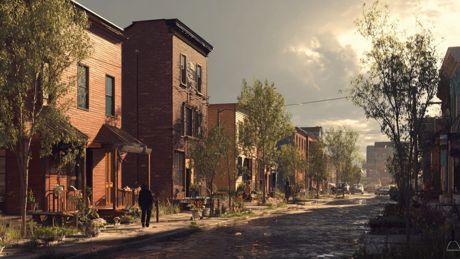
The project proceeded faster than expected. By early 2018, the eastern section was gone, replaced by a tree-lined boulevard called Union Street. The sunken highway had become an at-grade street with bike lanes, sidewalks, and medians planted with native species.
Measuring Success
Five years later, early results suggest the experiment is working. Air quality along the former highway corridor has improved, with particulate matter reduced by 15%. Noise levels dropped significantly in adjacent neighborhoods. Property values in the area began rising for the first time in decades.
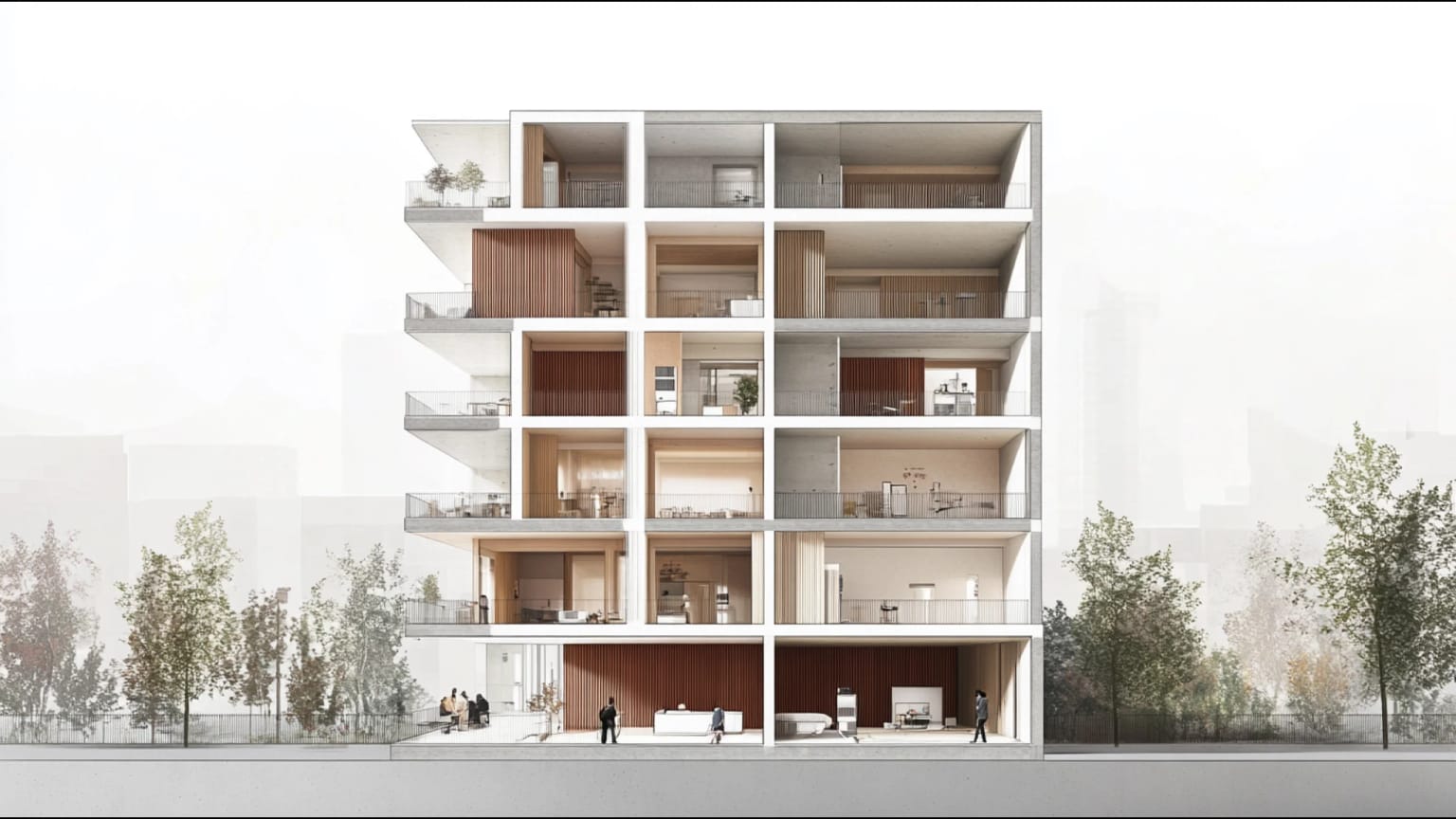
New development followed quickly. The Sibley Square project converted a historic department store into mixed-use housing and retail. The Innovation Square development brought technology companies to former highway land. A new public market opened on East Main Street, drawing visitors from across the region.
"The developers started calling as soon as the concrete came down," says Johnson. "We suddenly had land available in the heart of the city that no one had been able to use for fifty years."
Most importantly for residents like Carmen Williams, the removal reconnected neighborhoods. Children can now walk safely from the East End to downtown. The morning farmers market draws customers from both sides of the former highway. Evening events in downtown parks attract families from across the city.
"My grandkids play in areas I couldn't get to easily for forty years," Williams notes. "The city feels whole again."
Challenges and Complications
But the Inner Loop removal also highlighted tensions common to urban revitalization projects. As property values rose and new businesses opened, some long-time residents found themselves priced out of newly desirable neighborhoods.
The East End, historically home to African American and immigrant families, began experiencing gentrification pressure. New restaurants and cafes attracted suburban customers but priced out neighborhood regulars. Rising rents displaced families who had endured decades of highway noise and pollution.
"We wanted the highway gone, but we didn't want to be gone too," says East End resident Patricia Madison, whose family has lived in the neighborhood for three generations. "The healing came with a cost we didn't expect."
City officials responded with affordable housing preservation programs and small business support initiatives. But the challenge reflects a broader dilemma: infrastructure improvements that benefit communities can also transform them beyond recognition.
Lessons for Other Cities
Rochester's success with highway removal has inspired similar projects in Syracuse, Akron, and other Rust Belt cities with aging urban highways. But city planners caution that what worked in Rochester may not work everywhere.
The Inner Loop was uniquely suited for removal because it served no essential transportation function. Cities considering similar projects need to carefully analyze traffic patterns, regional connectivity, and community needs before proceeding.
"You can't just remove infrastructure and hope good things happen," warns Johnson. "You need strong planning, community engagement, and realistic expectations about what removal can and can't accomplish."
The economic benefits also depend on broader regional trends. Rochester's success came during a period of downtown investment and population stabilization. Cities facing continued decline might see different results from highway removal.
The Deeper Loop
Six years after the first concrete came down, Rochester's Inner Loop experiment offers evidence that cities can successfully remove highways that no longer serve their transportation needs. The project proved that mid-sized cities don't need to accept aging infrastructure as permanent features of their landscape.
But the experiment also revealed that infrastructure removal is just the beginning of urban transformation. What matters more is what communities do with the opportunities that removal creates—and whether they can manage the changes that follow.
For Carmen Williams, now watching her grandchildren play where highway traffic once roared, the Inner Loop removal represents proof that cities can learn from their mistakes.
"We spent fifty years living with someone else's idea of what our neighborhood should look like," she reflects. "Now we get to decide for ourselves."
The empty lots where the highway once ran are still becoming something new. The real test of Rochester's experiment won't be measured in traffic counts or property values, but in whether the community that emerges serves the people who fought to make it possible.
The Inner Loop Experiment is part of Atlas Urbium's ongoing series on highway removal and urban healing. Read more about infrastructure transformation in Boston, New Orleans, and Portland in our chronicles of cities choosing subtraction over addition.
References:
- Johnson, Robert M. "Rochester's Inner Loop: A Case Study in Highway Removal." Journal of Urban Planning, 2019.
- University of Rochester. "Economic Impact Assessment: Inner Loop Removal." 2020.
- New York State Department of Transportation. "Inner Loop Transformation Project Final Report." 2018.
- Rochester Democrat & Chronicle. "Inner Loop Timeline: From Construction to Removal." 2017.
- Monroe County Department of Public Health. "Air Quality Assessment: East Main Corridor." 2021.
- Data sources: City of Rochester Planning Commission, Federal Highway Administration, Greater Rochester Enterprise
Further Reading:
- Inner Loop (Rochester) - Wikipedia - Comprehensive history and removal documentation
- Walking through Time with Google Street View: Rochester's Inner Loop - Strong Towns - Visual documentation of the transformation using Google Street View
- A Highway (Used to) Run Through It - Strong Towns - Personal account of the neighborhood transformation
- The Inner Loop - Rochester Digital Scholar - Detailed historical analysis with maps and photos
- Inner Loop (Rochester) - AARoads Wiki - Technical documentation and construction timeline
Continue Reading
Why New Apartments Feel Smaller Than Their Plans
New flats are warmer, safer and more efficient than old ones — and often feel worse to live in. Windows, ceilings and corridors reveal the loss of spatial generosity after Art Nouveau and Art Deco, and why compliant housing can still be uncivilized.

The Right Height: How Mid-Rise Cities Beat Both Sprawl and Towers
Five to eight storeys is the sweet spot for sustainable cities. Here's how Vienna, Vancouver, and Melbourne can build walkable, affordable, climate-conscious neighbourhoods without choosing between sprawl and glass towers.
When the Minimum Standard Becomes the Home
Light, ceiling height, corridors, floor area — and the quiet dismantling of residential quality. When regulation becomes the ceiling instead of the floor, cities produce dwellings designed for minimum life.